
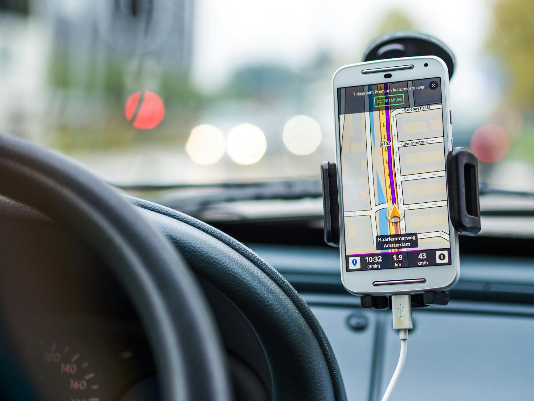
Geofencing in urban transport works by defining a virtual geographic boundary, then triggering a programmatic response when a tracked asset crosses it. The asset might be a heavy freight vehicle, a connected bus, a shared e-scooter, or a construction plant moving near a live signal cabinet. The response might be a speed limit alert, a signal priority request, a zone-entry restriction, or a data push to a traffic management centre. What makes geofencing operationally useful is that the trigger is automatic and near-instantaneous, without requiring a human operator to watch a screen and act.
Australian cities have adopted geofencing progressively, starting with logistics and moving into transit management. The technology builds on GPS positioning combined with a backend rules engine that monitors asset coordinates against stored polygon or radial boundaries. Accuracy depends on positioning technology: GPS alone sits at roughly 3 to 5 metres in open sky, but urban canyons degrade that significantly. Systems that layer in cellular network data or dedicated short-range communications achieve sub-metre precision in some configurations, which matters when a boundary sits at a kerb line or an intersection stop line.
Where geofencing connects to signal infrastructure
The most direct intersection between geofencing and traffic signal systems is transit signal priority. When a bus or tram crosses a geofenced trigger point upstream of a signalised intersection, the system can request a phase extension or an early green, cutting dwell time without the driver doing anything. Bob Panich Traffic Signals designs and supplies signal systems that support these priority inputs, and the geofence boundary placement is critical: too close to the stop line and the system doesn't have enough lead time; too far back and the priority request fires during a conflicting phase cycle. Getting that boundary placement right requires understanding the local signal timing parameters in detail.
The relationship between geofencing and how buses and trams get a green light is tighter than it might appear. The geofence isn't the priority system itself. It's the detection trigger that tells the priority system a vehicle has reached a defined threshold. That distinction matters for fault diagnosis: if priority isn't activating, the problem may be in the geofence boundary definition, the GPS fix quality on the vehicle, or the communication path to the controller, not in the signal hardware.
Freight access management and low-emission zones
Freight access restriction is one of the highest-volume applications of geofencing in Australian capital cities. Councils and transport authorities use geofenced zones to enforce time-of-day delivery windows, vehicle class restrictions, and low-emission zone boundaries. A logistics operator whose vehicle crosses a restricted zone boundary outside permitted hours receives an immediate alert; compliance data logs automatically for enforcement review.
The governance layer underneath this is non-trivial. Geofenced freight zones generate continuous streams of crossing events, dwell times, and route deviations. Who holds that data, how long it's retained, and what operators can do with it are questions that sit at the core of smart city data governance. In practice, local councils often hold zone-boundary authority while state transport agencies operate the enforcement back-end, creating a split-ownership structure that slows both policy updates and boundary revisions.
Micromobility and shared transport geofencing
Shared e-scooter and e-bike operators were among the first to implement consumer-facing geofencing at city scale. Operators define slow-speed zones near pedestrian precincts, no-ride zones near sensitive infrastructure, and preferred parking areas. The enforcement mechanism is direct: the vehicle's onboard controller reads its GPS position against a downloaded boundary set and throttles the motor or locks the wheels if the rider enters a prohibited area.
This creates a dependency that city planners don't always account for upfront. When an operator updates zone boundaries, every vehicle in the fleet must download the new polygon set before it takes effect. Vehicles that are offline or in low-signal environments hold stale boundaries. That lag window is where most zone-enforcement failures occur, and it's a design constraint that affects how tightly a city can define or frequently adjust its micromobility zones.
Construction and roadworks proximity alerts
Geofencing is increasingly used on civil infrastructure projects to manage plant movements near live signal hardware and underground services. A defined exclusion zone around a traffic signal cabinet or a loop detector installation triggers a proximity alert on plant operator devices when equipment approaches within a set radius. Bob Panich Traffic Signals incorporates this kind of spatial awareness into site coordination planning for signal installations, particularly on high-traffic corridors where excavation near loop detectors carries a real risk of operational disruption.
The alert itself doesn't stop a machine. It surfaces a prompt to the operator and logs the proximity event. That log becomes part of the project safety record and, in the event of a service strike, provides a timestamped record of what was known, by whom, and when.
Integration with connected vehicle data
As more vehicles transmit position data continuously via V2X or cellular systems, geofencing shifts from a discrete trigger model to a continuous awareness model. Rather than checking whether a vehicle crossed a line, a traffic management system can track a vehicle's trajectory through a zone, predict its exit point and timing, and pre-position signal phases accordingly. This is where geofencing starts to overlap with connected vehicle data and traffic signal coordination, and the two functions are becoming harder to separate cleanly in practice.
The practical constraint is fleet penetration. Geofence-based signal optimisation delivers its full benefit only when a meaningful proportion of vehicles in a zone are transmitting. In Australian conditions, that proportion varies sharply by corridor type: motorway freight routes have higher connected-vehicle penetration than suburban arterials, which changes where geofencing delivers reliable returns today versus where it's a capability that scales with the fleet over time.
Standards and implementation considerations
No single Australian standard governs geofencing implementation in transport contexts. The Australian Government's connected and automated vehicles policy framework sets the directional context, while individual states apply their own data and road-use conditions. The practical result is that geofencing deployments in transport are governed by a patchwork of operator agreements, council by-laws, and state traffic management requirements rather than a unified technical specification.
For infrastructure teams, this means geofencing boundary design, update protocols, and data retention obligations need to be defined explicitly at the project scoping stage. Boundary coordinates should be version-controlled, with change records tied to the authority that approved each revision. Enforcement reliance on a geofence that was last updated 18 months ago is a compliance liability, not just a technical one.
Geofencing is a coordination tool, not a standalone system. Its value depends entirely on how accurately boundaries are defined, how reliably they're maintained, and how cleanly they integrate with the signal, communications, and data infrastructure around them.